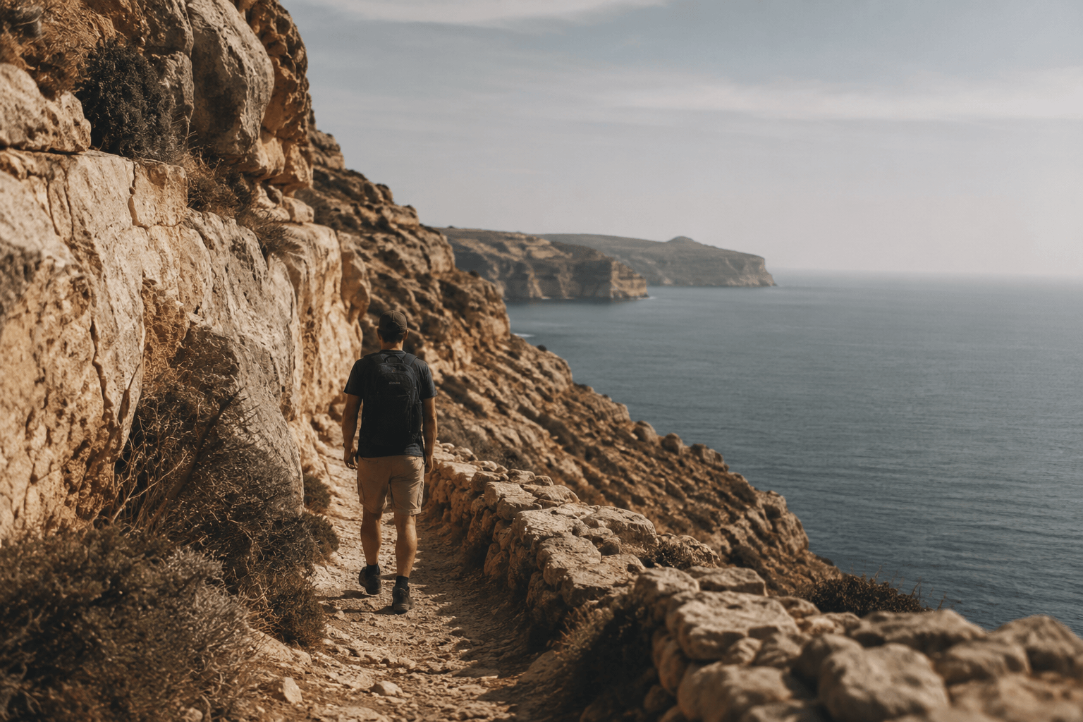
Hiking in Gozo means walking across a small island shaped by limestone, terraced fields, and open coastlines. Trails are informal rather than marked, often connecting villages, valleys, and cliffs with a quiet, uninterrupted flow.
Quick Overview
- Terrain: coastal paths, rural tracks, low hills
- Difficulty: mostly easy to moderate
- Best season: October to May
- Trail style: unmarked, natural routes
Walking in Gozo is not about reaching a summit.
It is about movement.
You pass from village edge to open land, from stone walls to sea views, often without noticing the transition.
TL;DR
- Gozo is ideal for slow, scenic walking
- Coastal paths offer the most open views
- Spring and autumn provide the best conditions
Hiking in Gozo is defined by continuity — paths that quietly link villages, fields, and coastline without interruption.
Best Areas for Hiking in Gozo
Nadur to Ramla Bay
This is one of the most natural walking routes.
Starting from Nadur, the path moves gently downhill through terraced fields.
You gradually reach the beach of Ramla Bay, where the landscape opens.
Distance: ~3 km
Difficulty: easy
Best time: morning or late afternoon
Xlendi to Dwejra Coastal Walk
This route feels more exposed.
From Xlendi, the path climbs onto cliffs and follows the western coastline toward Dwejra Bay.
The sea is constant on your left.
Distance: ~6–7 km
Difficulty: moderate
Best time: early morning, low wind days
Marsalforn to Wied il-Għasri
This northern route is quieter.
Leaving Marsalforn, you follow the coast toward the narrow valley of Wied il-Għasri.
The landscape becomes more enclosed and textured.
Distance: ~4 km
Difficulty: easy to moderate
Is Hiking a Good Way to Experience Gozo?
Yes, especially if you prefer slower travel.
Gozo’s size makes walking practical. Distances are short, but the terrain changes often.
You rarely walk in a straight line for long.
Practical Conditions
- Winter in Gozo: green landscapes, softer light, occasional rain
- Spring: wildflowers, stable weather, ideal walking
- Summer: hot, dry, limited shade
- Autumn: warm sea, quieter trails
Temperatures range:
- Winter: 10–16°C
- Spring: 15–22°C
- Summer: 28–42°C
Navigation and Trail Reality
There are few official trail markers.
Most routes rely on:
- existing farm tracks
- coastal paths
- local knowledge
Offline maps are useful.
But walking here often involves small decisions rather than fixed routes.
Practical Tips
- Start early in warmer months
- Always carry water — services are limited outside villages
- Wear stable shoes — limestone can be uneven
- Watch wind conditions on exposed cliffs
- Combine walks with a simple coastal walk or swim stop
Local Context
Walking routes often pass near working land.
You may see farmers, stone walls being repaired, or small chapels along the way.
In areas near Xagħra or Qala, paths feel more integrated into daily life.
Atmosphere
Gozo does not feel designed for hiking.
It simply allows it.
There are no dramatic trailheads or defined starts.
You begin walking, and the island unfolds gradually.
Planning Your Walk
Base yourself near Victoria (Rabat) for access in all directions.
Or choose a coastal village for immediate access to paths.
For timing, consider Gozo weather patterns before planning longer routes.
Is It Worth Hiking in Gozo?
If you enjoy quiet landscapes, yes.
If you expect marked trails and facilities, less so.
Gozo rewards attention rather than effort.
FAQs
Is Gozo good for hiking?
Yes. It offers varied terrain and short, scenic routes.
Are hiking trails marked in Gozo?
Mostly no. Routes are informal and require basic navigation.
What is the best time to hike in Gozo?
October to May provides the most comfortable conditions.
Are hikes in Gozo difficult?
Most are easy to moderate, with some exposed coastal sections.


